
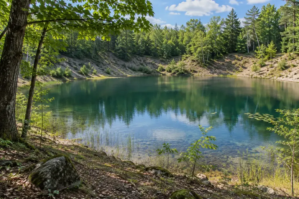
A quiet pond among wooded hills may preserve the outline of something that is no longer there: a stranded block of glacier ice. The depression left after that ice melted is called a kettle. If water occupies it, the result may be a kettle pond or lake.
The US National Park Service’s explanation describes ice becoming partly or wholly buried in glacial sediment before melting. The remaining hollow is a record of that sequence, rather than a basin necessarily carved by a flowing river.
Look for an explanation of the place
A rounded pond is not enough to identify the process that formed it. Before attaching the label, look for a park interpretation panel, geological map or documented local account. Other processes can also produce depressions filled with water.
At a viewpoint, compare the official explanation with the wider landscape. Can you see surrounding deposits or a group of nearby hollows? Note what is visible without assuming that every feature has the same origin.
Keep the walking decision separate
Knowing how a lake formed does not tell you whether its bank is stable, its water is safe to drink or swimming is permitted. Check the land manager’s current access information and remain on approved routes. A geological story is not an assessment of present-day conditions.
For a travel notebook, use three short entries: the source naming the landform, the features you observed and the questions still unanswered. A photograph of the interpretation panel can help preserve the exact location and wording for later research, where photography is allowed.
The most rewarding change may be in how you see the absence. Instead of asking only what filled the hollow, ask what once occupied the space before it became a hollow. That question connects a still stretch of water to a much more mobile landscape of ice and sediment.