Trail Planning
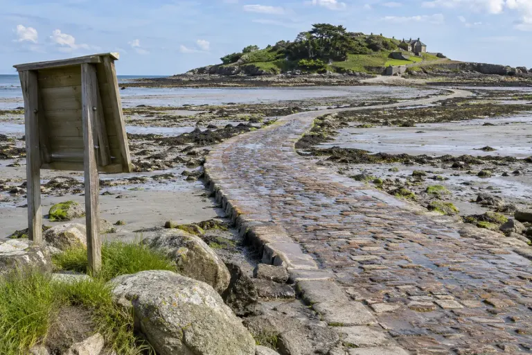
A tidal causeway needs a return crossing in the plan
A visible causeway can disappear with the tide. Plan both crossings using local guidance and leave room to turn back before the route closes.

A little preparation. A better day outside.
Grounded guides for walkers and new backpackers, from a sensible route to the small details in a day pack.
Make a trail plan →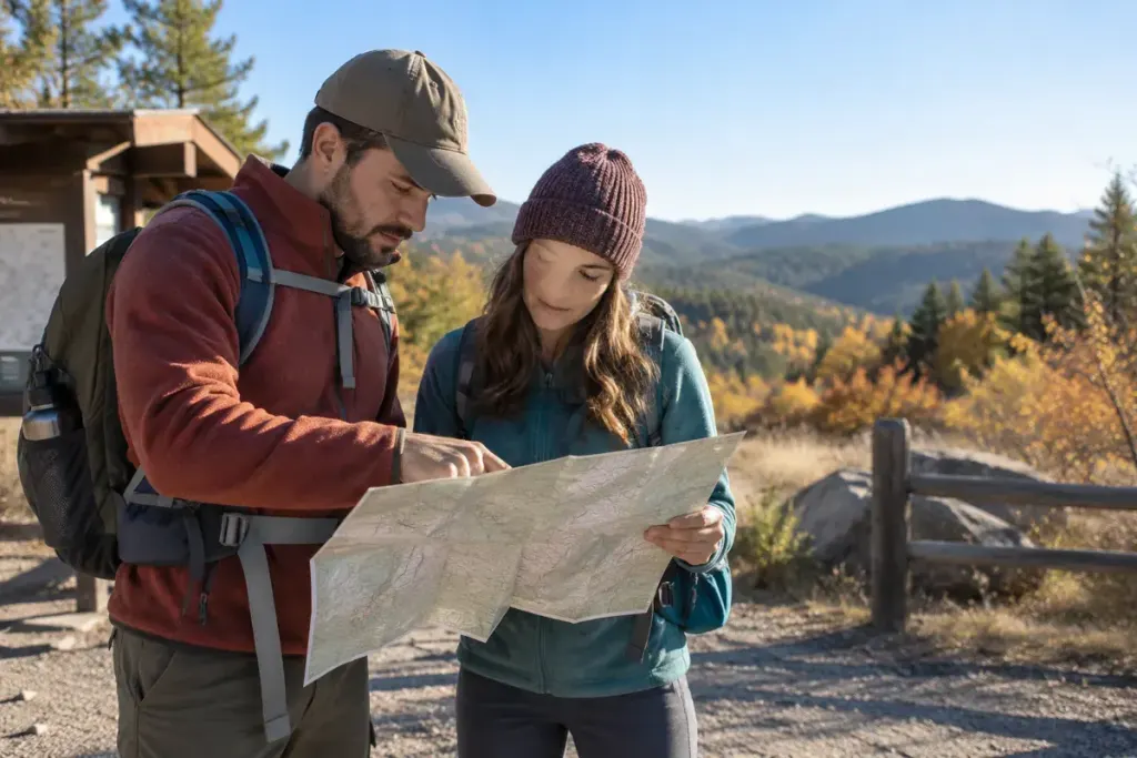
A visible causeway can disappear with the tide. Plan both crossings using local guidance and leave room to turn back before the route closes.
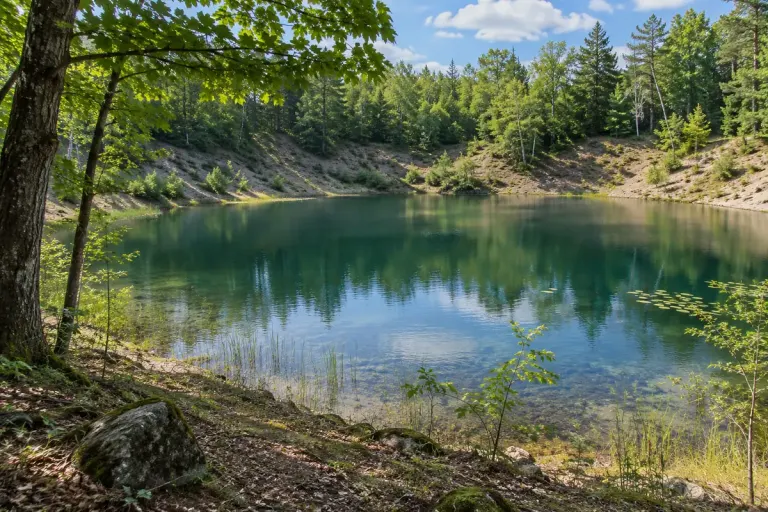
A kettle lake records a gap left by melting ice. Learn to connect the landform explanation with a documented place rather than guessing from its shape.
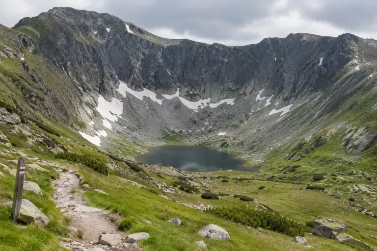
Recognise the bowl-shaped outline of a mountain cirque and use a landscape photograph or map to ask better questions about its glacial history.
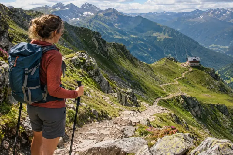
A mountain hut is a destination, but the descent still needs its own route, time allowance, and conditions check before you set off.
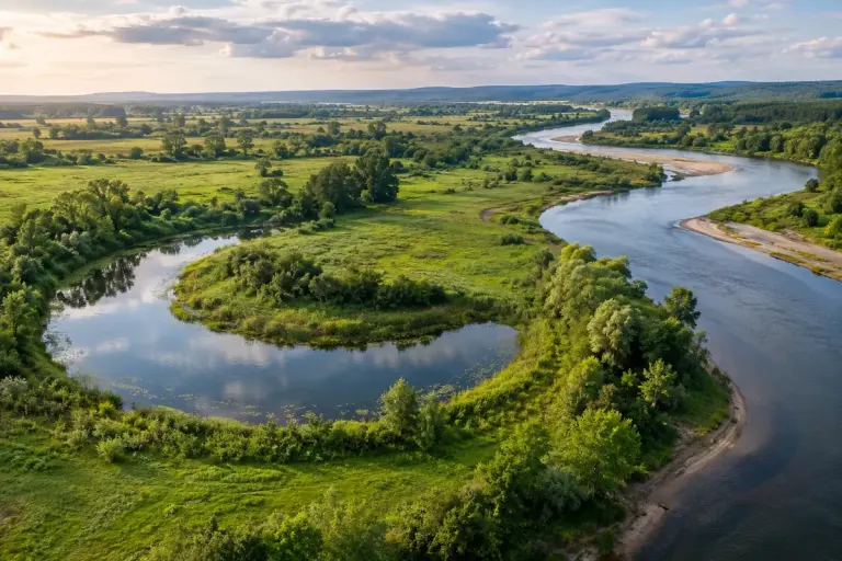
Read the shape of an oxbow lake in a river landscape, distinguish an old bend from the active channel, and use that understanding carefully when planning a walk.
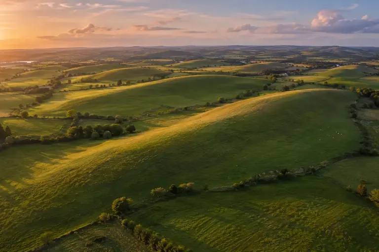
Spot the rounded shape of a drumlin, read its glacial context, and use a landscape map without assuming every smooth hill has the same origin.