
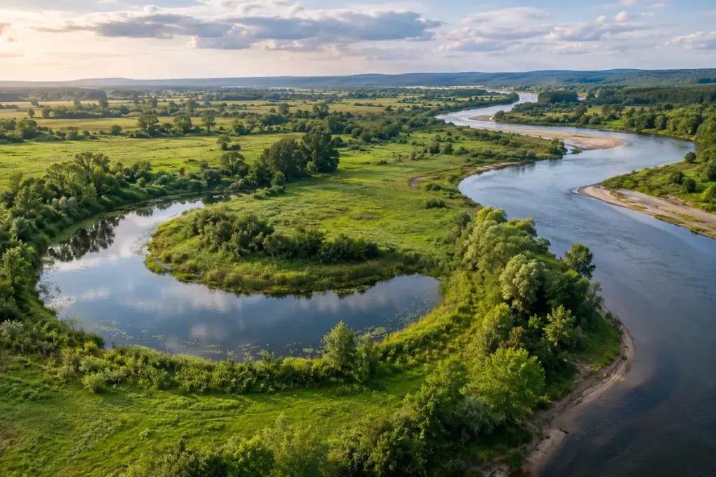
A horseshoe-shaped lake beside a river can look as though someone has drawn a second, incomplete channel. Often that shape records a former bend. The river has taken a shorter route, leaving the old loop partly or fully separated from the main flow.
The US Geological Survey’s oxbow-lake Earthshots page explains the relationship between river meanders and cutoffs. Erosion, deposition and changing flow reshape the channel; abandoned bends can become lakes and later fill with sediment or vegetation. A single photograph captures one stage of a continuing landscape.
Compare the bend with its surroundings
On a map or lawful aerial image, look for the narrow neck where the old loop approaches the current channel. Then examine the land between them. Other curved wet areas or lines of vegetation may suggest earlier channel positions, although their appearance alone is not enough to date them.
If several dated images are available, compare the same area at a similar scale. Note the image date and water conditions. A connection visible during high water can disappear in a drier image; that difference is not necessarily evidence that the mapmaker made a mistake.
Do not turn a dry-looking shortcut into a route
For walkers, the practical lesson is about uncertainty. An old channel may still be wet, soft or connected to the river during floods. Use established access routes and current local information. A tempting strip of exposed ground in a satellite view does not establish public access, firm footing or a safe crossing.
Observe from a stable permitted path and keep clear of eroding banks. If the route depends on a low-water crossing, look for a different option before setting out rather than relying on the shape of the lake.
An oxbow is rewarding to notice because it makes change visible. You are looking at a trace of where the river used to travel, while the active channel beside it continues to write the next part of the map.