
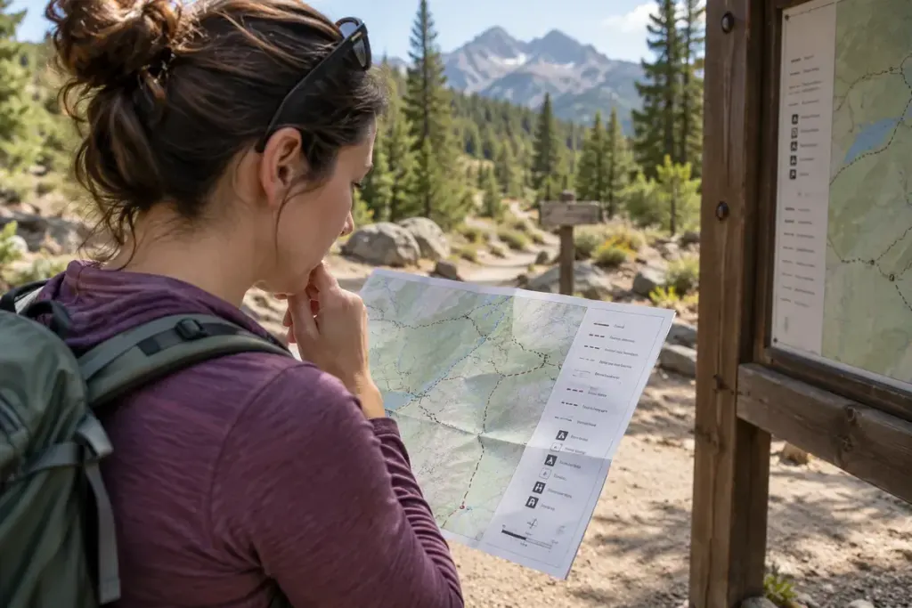
A dashed line across a hillside is an invitation to read the legend, not automatic permission to walk. Depending on the map, it may represent a path, a boundary, a route category or something else entirely.
Use the legend for that exact map series and scale. Colours and line patterns that are familiar from one country or publisher may have different meanings on another map.
Separate the physical route from access rights
Ordnance Survey’s explanation of rights-of-way symbols describes specific Explorer and Landranger conventions. Its Explorer legend also distinguishes rights of way from other mapped roads, tracks and paths. Those are British mapping conventions, not universal rules for travel elsewhere.
A visible track can cross private land without public access. A recorded right of way can also be difficult to see on the ground. Neither the appearance of a line nor a photograph of a well-worn path settles every access question.
Check whether the route is usable today
Look for current information from the relevant park, local authority or land manager. Closures, damaged bridges, seasonal restrictions and severe weather may affect a route after the map was published. A downloaded map is useful offline, but its saved date matters.
Read the terrain around the line as well. A short distance can involve steep ground, an exposed crossing or a difficult descent. Choose a route that suits the group’s ability and available daylight, and identify a sensible alternative before setting out.
If the ground and map disagree, stop somewhere safe and reassess. Do not force a passage through a locked gate or hazardous section merely because an app draws a connection. Record the discrepancy for later checking, while making the immediate decision using the conditions and lawful access in front of you.