
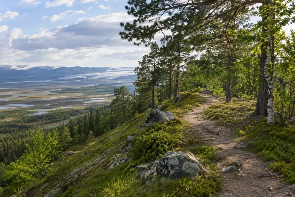
A narrow ridge winds across a landscape that no longer contains a glacier. It may look like a natural embankment or an abandoned route. If it is an esker, its shape records sediment deposited by meltwater flowing within or beneath glacial ice.
The British Geological Survey’s definition of esker deposits describes sinuous ridges or mounds of sand and gravel associated with streams bounded by glacier ice. A US Geological Survey study of glaciofluvial deposits also explains the relationship between meltwater channels and the ridges left behind.
The ridge preserves a channel’s deposits
The useful mental reversal is that a raised feature can record material deposited in a water route. The ice that confined the flow is gone, while some of the transported sediment remains. The ridge is therefore not simply a miniature mountain range made by the same processes as the surrounding bedrock.
Real landscapes are less tidy than a textbook sketch. Ridges can be interrupted, altered or partly obscured. Shape alone cannot establish the origin of every long mound you encounter.
Bring a geological description as well as a walking map
Before a visit, look for a geological map, park interpretation or other reliable account identifying the feature. Keep the source and location in your notes. A walking map helps with the route; it may not explain the landform’s formation.
From the designated path, compare the ridge’s course with the surrounding ground. Notice changes in height and direction, and whether vegetation makes its outline easier or harder to follow. A wide photograph can be more useful than a close view that removes the landscape context.
Do not dig into a bank or collect material to confirm the description. Exposed sediment can be unstable, and protected sites may have specific restrictions. Use existing interpretation and permitted viewpoints.
Keep access separate from geological curiosity
A ridge that looks like a convenient path is not necessarily a public route. Check access, surface conditions and local guidance before walking along it.
Once the feature is reliably identified, the walk gains another timescale. The line under your feet can suggest moving water within vanished ice, while today’s vegetation, paths and settlements show how the landscape has continued to change.