
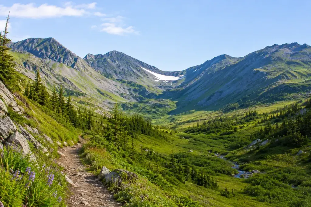
Short sleeves at the trailhead can make a snowy pass feel like an unlikely problem. Higher up, shaded slopes may still hold snow long after the valley has turned green. A route described as a summer walk can therefore demand very different judgement early in the season.
The Pacific Crest Trail Association’s seasonal guidance illustrates this mismatch: mountain snow and high water can persist into periods that sound warm on a holiday calendar. That example concerns the PCT; the same planning question needs local evidence wherever you intend to walk.
What does the report actually describe?
“Mostly clear” is not a useful answer until you know which section was checked. Look for the date, elevation, aspect and exact stretch of route. A photograph of a sunny approach does not establish the condition of a shaded traverse beyond the pass.
Ask the relevant ranger office, hut or local route authority about the remaining snow, recent changes and any closure. Read reports as observations with dates, not promises. Weather and surface conditions can change between the report and your arrival.
For your planning notes, separate three things: confirmed information, information that is already old and sections for which nobody has provided a recent observation. This prevents an attractive photograph from quietly filling every gap.
Make the alternative part of the trip
Choose a lower route before setting off, including its transport and return time. Agree a turnaround point with companions. That makes changing plans an ordinary decision rather than a disappointing negotiation after hours of climbing.
On the route, consider the consequences of a slip, the visibility of the path and whether your group has the skills and appropriate equipment for the actual conditions. Footprints ahead are not proof that a crossing is suitable for you. Do not improvise technical snow travel because the destination is close.
Grand Teton National Park’s hiking guidance also highlights care around snowfields and streams. Melting snow can affect both the pass and the water crossings below it, so the return journey deserves attention as well.
Save the route information for offline access, tell someone your plan and leave enough time to turn back comfortably. A successful mountain day can end on the lower trail, with the high pass left for conditions your group is prepared to handle.