
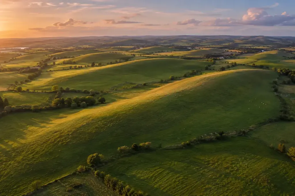
A low, smooth hill beside a walking route may seem less dramatic than a cliff or mountain. In a formerly glaciated landscape, its shape can still tell a substantial story. A drumlin is one of the landforms that records how moving ice reshaped material beneath it.
Look for a family of shapes
The US National Park Service’s drumlin guide describes these streamlined hills and their relationship to glaciers. They often occur in groups, with long axes that provide evidence about former ice movement. Their composition and formation are more varied than a single classroom diagram can show.
From a path, one hill may be difficult to interpret. A topographic map or an official landscape interpretation panel can reveal a wider pattern that is hard to see from ground level. Several elongated hills aligned across an area are a more useful observation than one vaguely oval mound.
Make a field note with limits
Record where you stood, the direction of the view, and what you could actually see. A note such as “rounded ridge with a long east-west outline” preserves an observation. Calling it a drumlin is an interpretation that should be checked against local geological information.
A photograph taken across the hill may show its profile better than one taken directly along it. Keep the horizon and surrounding terrain in the frame if they help explain the shape. There is no need to leave a marked route or enter private land to collect a useful view.
Notice what happened after the ice
Road cuttings, cultivation, drainage, and buildings can modify the outline now visible. Discussing those changes does not weaken the glacial story; it helps separate the original landform from later uses of the ground.
On your next walk, choose one low hill and compare the view with a map before looking for a label. Even if it turns out not to be a drumlin, the exercise improves the habit that makes landscape reading rewarding: observing a shape carefully before deciding how it formed.