
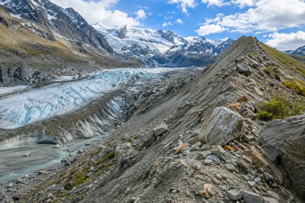
A ridge of loose rock beside a glacier can be more than a pile of fallen stones. It may be a moraine: debris carried, shaped or deposited through glacial activity. Recognising the term gives a mountain view a history, but it does not make every rocky ridge easy to identify from a photograph.
The US National Park Service’s glacier terminology defines moraine in relation to rock debris and glacial flow. Its Glacier National Park geology guide explains how material can accumulate near a glacier’s end, leaving a ridge as the ice changes.
Read the location in the valley
Look at how the feature relates to the present ice, valley sides and mapped former glacier extent. A local interpretive panel or geological map can help distinguish a documented moraine from an uncertain visual guess.
When taking notes, separate the visible feature from its interpretation. “A curved ridge of loose debris across the valley” records what you see. “A terminal moraine dated to a particular advance” requires supporting geological evidence.
Do not turn the landform into a route recommendation
Loose material, steep slopes, meltwater and nearby ice can create hazards that are not apparent in a distant view. Use current local route information and stay on permitted paths. A geological label says how a feature formed; it does not certify that walking across it is safe.
For a travel journal, make a sketch from a safe viewpoint and mark the source of any identification. Include the date of your visit, because a glacier’s visible margin can change while the older debris remains.
This approach makes the landscape interesting without overclaiming expertise. You can describe what the ridge helps you notice—the former reach of ice, the movement of material and the difference between current and past conditions—while leaving precise age and formation history to the evidence available for that location.