
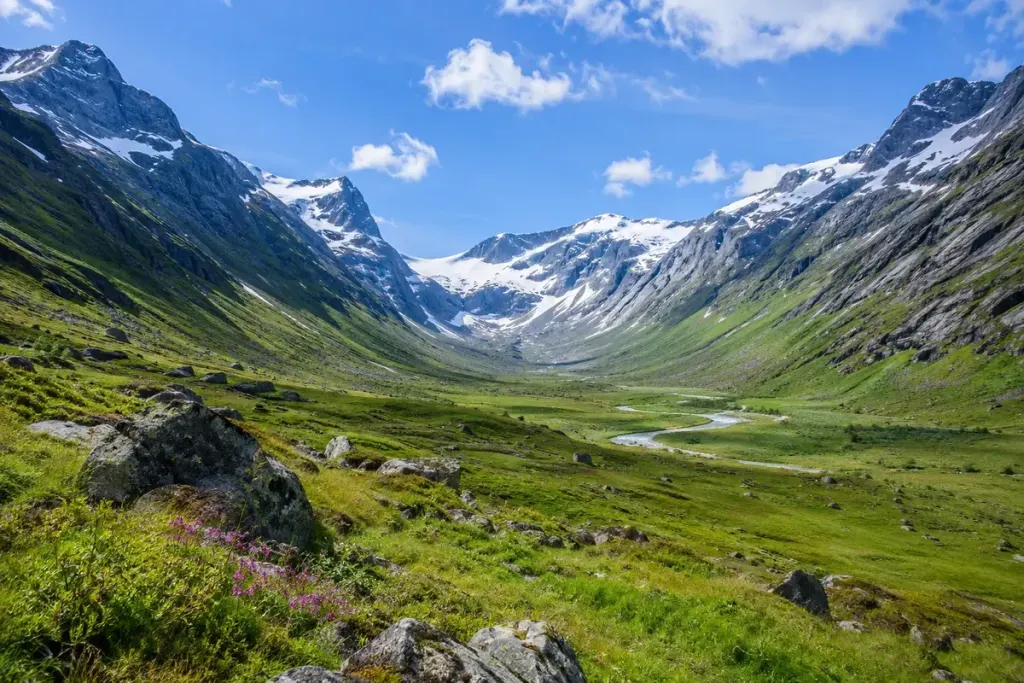
A stream may run through the centre of a wide mountain valley, yet be far too small to explain the valley’s broad floor and steep sides on its own. The landscape can preserve the work of ice that has long since retreated.
The US National Park Service’s guide to glacial valleys describes how glaciers can carve a broad U-shaped profile. River erosion more commonly produces a narrower V-shaped profile, although real landscapes rarely resemble perfect letters.
Look across the valley, not only along it
From a safe viewpoint, trace the floor and both sides. Is the base broad? Do the sides rise steeply? Do smaller side valleys meet the main valley high above its floor? Those hanging valleys can be another clue to glacial history.
Sketch the profile in a notebook. A rough drawing makes you choose which features you actually see instead of merely writing “U-shaped” because a guidebook used the phrase. Add the viewpoint and direction so the observation can be checked later.
Now look for the present-day processes: a stream cutting into sediment, loose material below a cliff, or vegetation obscuring the underlying form. The landscape has continued changing since the glacier left.
A useful comparison is to read the local geological explanation after making your first sketch. Ask which observations it supports and which you misread. A broad valley can have a complicated history, and shape alone is not enough to reconstruct every stage.
Stay on suitable routes while observing; a promising photograph does not justify approaching an unstable slope or crossing water. The reward is a richer view from the walk you are already taking: a small modern stream, an older glacial trough, and the continuing processes that connect them.