
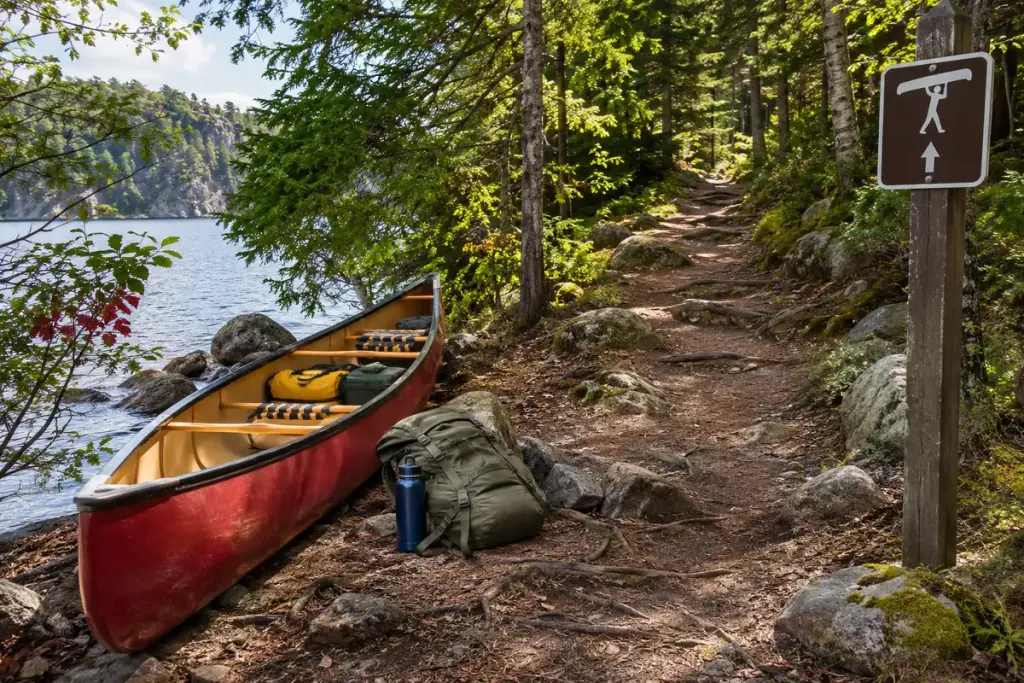
Two lakes can look conveniently close on a map while the connection between them involves a demanding carry. A portage is a land section where a boat and equipment are moved between waters or around an obstacle. It belongs in the trip plan as its own part of the journey.
Isle Royale National Park’s paddling information identifies portage routes and specific restrictions on devices used to move boats. That example shows why a wheeled trolley that works elsewhere cannot automatically be assumed acceptable on every route.
Read more than the distance
Check the authorised landing, the path, elevation change, surface, current access conditions and the launch point at the other end. A short steep carry may require more time and effort than a longer, easier one.
The North Cascades boating guidance gives a concrete example of a portage described through its dock, route, distance and elevation change. Those details are useful because they explain the actual transfer rather than only drawing a line between lakes.
Count the trips you will make on foot
Imagine a route description showing one kilometre of portage. If your group must carry equipment in more than one load and walk back for the next load, the distance each person walks can exceed the map’s one-kilometre figure. Plan from the carrying arrangement you can safely manage, not an optimistic single-trip assumption.
Discuss who carries what, where equipment can be placed safely and how the group stays together. Practise an appropriate carry with qualified guidance before relying on it in remote terrain.
Check the official route and current conditions before departure, and follow local restrictions. A portage is not permission to improvise a landing close to a dam, rapid or other hazard.
Include the land section in your timing, daylight margin and alternative plan. A trip is not complete on paper until the group can reasonably manage both the paddling and the transitions that connect it.