
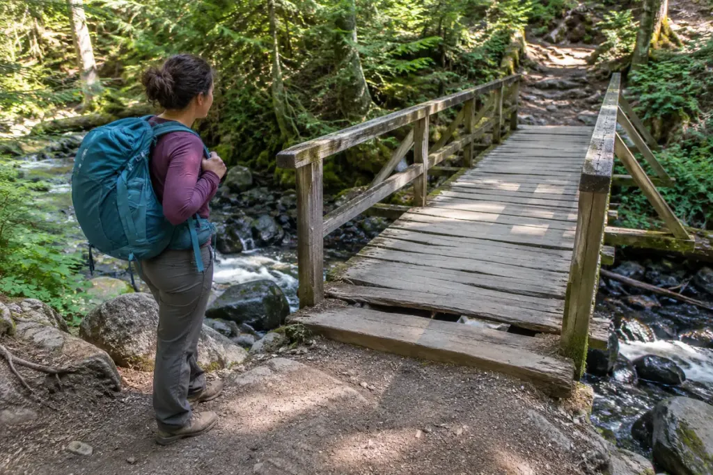
A line on a walking map can make a stream crossing look settled. On the ground, a bridge may be closed, damaged or affected by recent weather. Reaching it is a new decision point, even when the route is familiar.
Check current information from the land manager before setting out. After storms or flooding, an older route description may not reflect access conditions. Keep an alternative plan that does not depend on finding an improvised crossing nearby.
Pause before stepping onto the structure
From stable ground, look for closure notices, missing decking, obvious movement, damaged rails, debris and water reaching the bridge. Follow posted restrictions. Do not climb around a barrier because the far side appears close or because someone else has crossed.
A visual check cannot certify structural safety. If the condition is uncertain, turn back or use an officially designated alternative. Testing a suspect bridge with your body weight is not a sensible way to resolve doubt.
Consider the whole party
A crossing that seems manageable to one walker may be unsuitable for another person’s balance, mobility or confidence. Discuss that before anyone is halfway across. Follow the bridge’s stated capacity and use requirements, and keep hands available as the situation requires.
For an illustrative route plan, a group approaching a closed footbridge would return to the last safe junction and consult the approved diversion. It would not move downstream to search for stepping stones simply to preserve the original itinerary.
Report a problem usefully
When safe to do so, note the bridge’s location and the visible issue for the responsible authority. A photograph from stable ground can help; do not approach a hazard to improve the image. Avoid presenting an unofficial assessment as permission for others to cross.
Allow enough time and daylight for retreat. The best hiking plan includes decisions that can change when the landscape changes. A bridge is part of the route’s current condition, not a guarantee printed on a map.